Wind turbine inspection
Automated RGB orbit, typically 15–20 minutes per turbine and under 100 source images.
 Aerial Data Collection Solutions.
Matrice 4T · RTK · automated missions · energy, infrastructure, land
Energy · Wind · Utilities · Construction · Agriculture
ADCS is a cutting-edge drone inspection and surveying company based in Romania, specializing in delivering high-resolution aerial data for remote infrastructure, renewable energy, construction, and environmental projects.
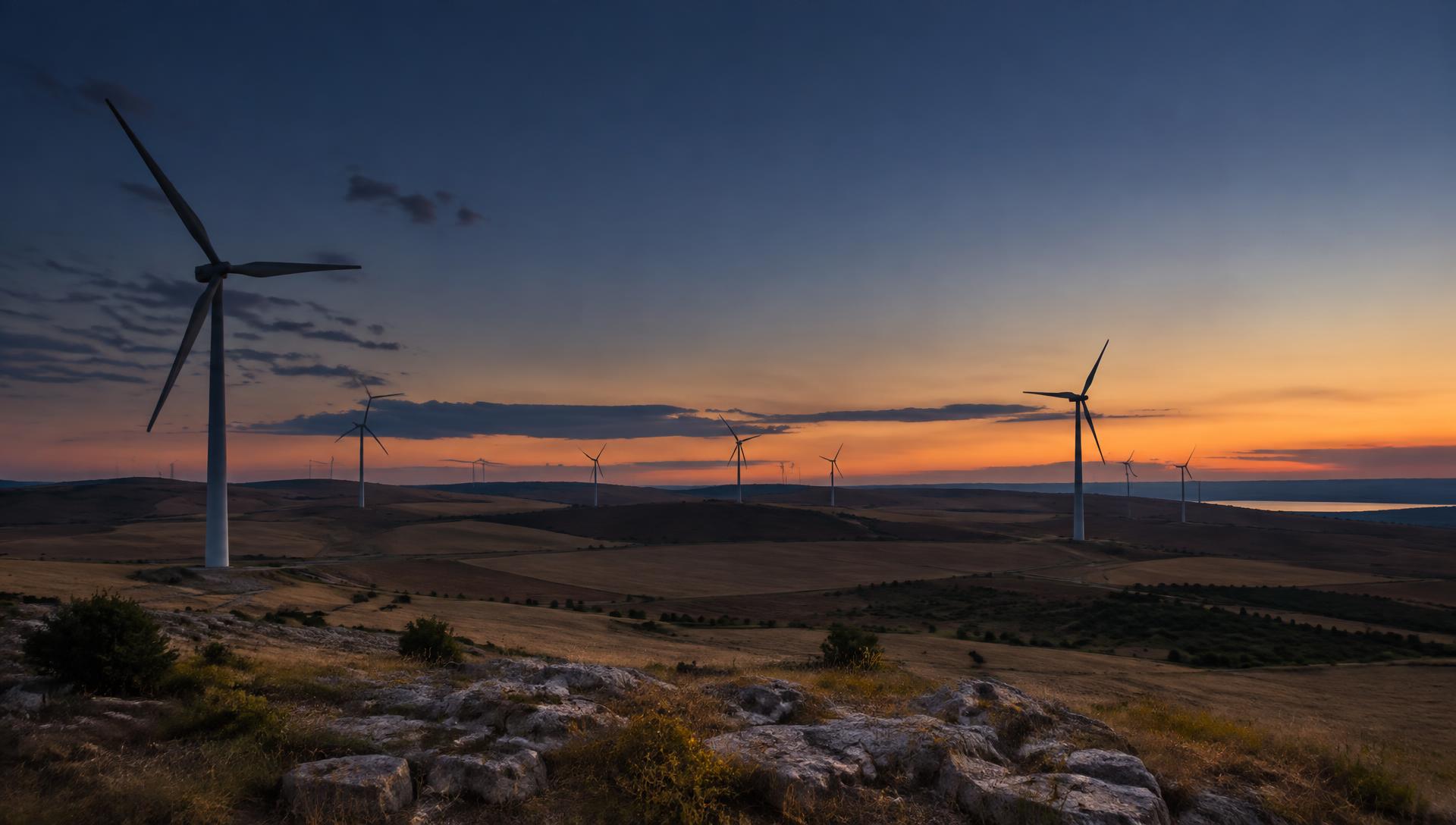
Operating from the heart of Romania's diverse landscapes, we combine off-road mobility with advanced drone technology — such as the DJI Matrice 4T and DJI Matrice 30T — to access hard-to-reach sites, even under extreme weather conditions, from the Carpathian Mountains to Dobrogea's wind farms.
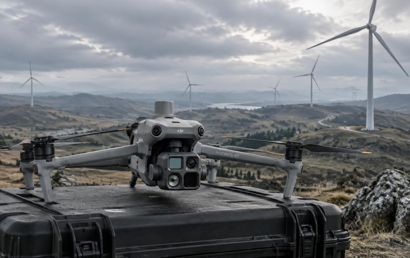
Our services include industrial inspections, thermal imaging, and precision surveying — giving energy firms, construction companies, and agricultural cooperatives actionable insights to optimize operations.
Automated RGB orbit, typically 15–20 minutes per turbine and under 100 source images.
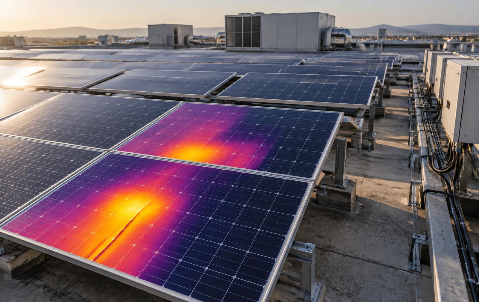
Radiometric infrared capture for blades, substations, rooftops, PV strings and buildings.
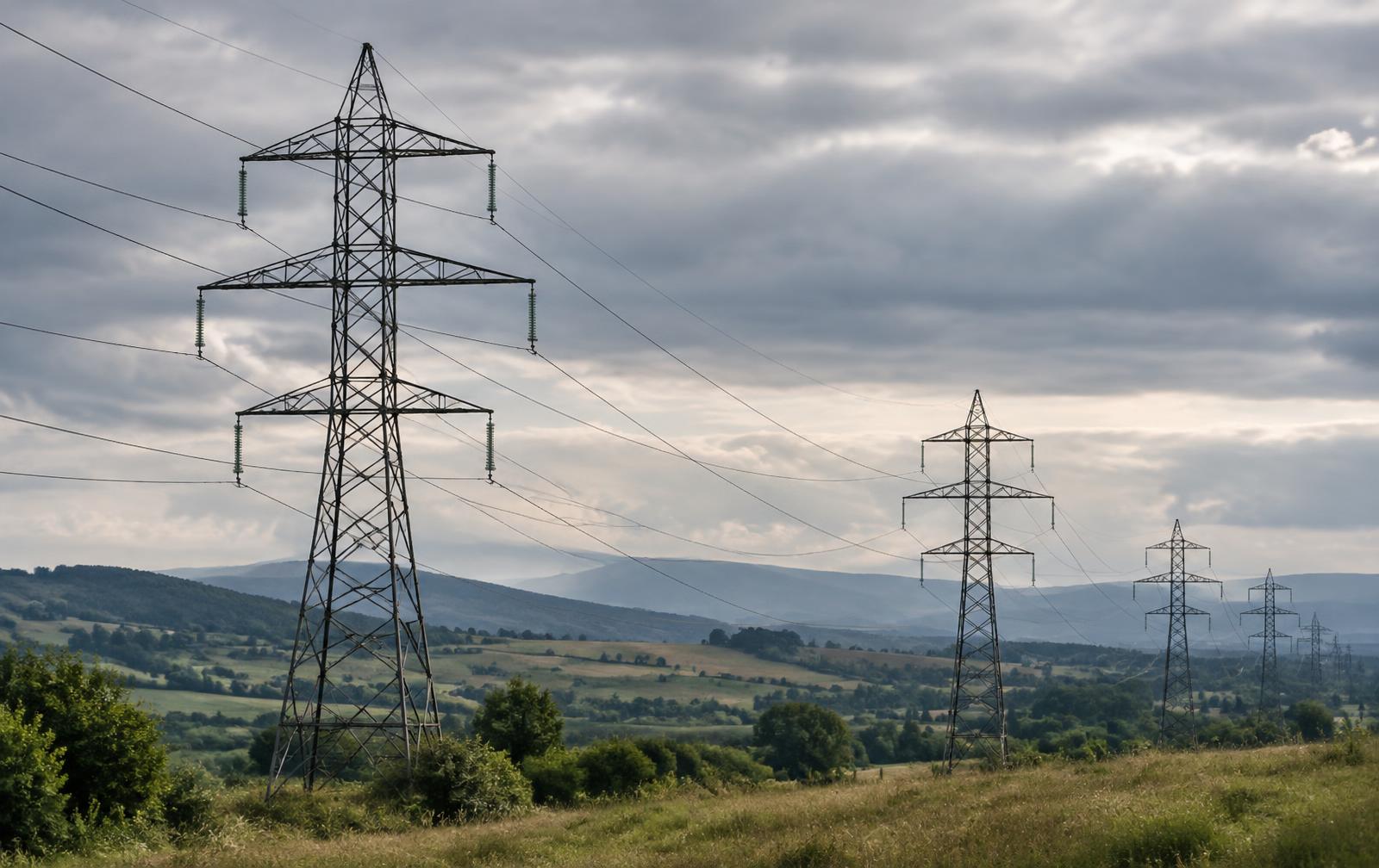
High-resolution visual records for towers, roofs, stacks and construction progress.
Documented RGB capture of roofs, facades and residential property on request.
Daily road mobilisation to energy, infrastructure and land assets across every Romanian region — Dobrogea, Moldova, Transylvania, Oltenia, Banat and Muntenia.
Founded to meet Romania's growing demand for innovative, eco-friendly solutions, ADCS leverages high-end enterprise technologies and AI-driven analytics to deliver reliable results in even the most challenging conditions.
Committed to quality and compliance with EASA regulations, we empower businesses with data-driven decisions — supporting Romania's infrastructure boom and EU green initiatives.
Commercial UAS operator. Flights planned against ROMATSA geographic zones.